Maps
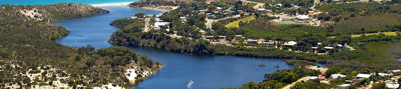
Guilderton Town Map
This is a Map of the Guilderton Town showing facilities, activities and walk trails.
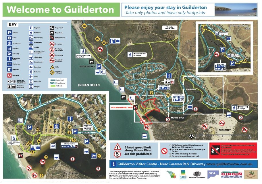
Guilderton Walk Trail Maps
Walks from the Foreshore and Gordon Street Car Parks – Moore_Estuary_Lookout_Map
Walks from North Groyne – North Groyne Map
Walks from Silver Creek Reserve – Silver Creek Map
Walks from the Stephens Crescent Car Park – Riverside Trail Map
Regional Maps
Regional Maps of the Moore River Region : mooreriverregion.com.au/maps/